 vesseltracker.com
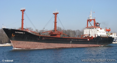
Vessel GMA TANIA IMO: 8117859, MMSI: 511100654 General Cargo Ship
Live AIS position:
UTC. Near PENDIK),
updated 2025-08-21 13:02:22 UTC.
Find the position of the vessel GMA TANIA on the map. The latter are known coordinates and path.
marine traffic ship tracker show on live map
The current position of vessel GMA TANIA is 40.87001 lat / 29.20780 lng. Updated: 2025-08-21 13:02:22 UTCCurrently sailing under the flag of Palau (Republic of)
GMA TANIA built in 1984 year
Deadweight:
3250 tDetails:
Last coordinates of the vessel:
2025-08-21 13:02:22 UTC, 40.87001, 29.20780, course: 107, speed: 0.3